Geographic Information Systems (GIS) Specialist
Using mapping technology to decide where energy projects should be built.


Science, Data and Analytics
What this person does in the real world
- Use GIS software to analyse locations for wind farms, cables and substations
- Manage multiple layers of spatial dat
- Create clear maps to support planning and design decisions
Why this job matters
Choosing the right location is critical for renewable energy projects. GIS Specialists help teams understand environmental constraints, technical needs and community factors through detailed mapping and spatial analysis.
Skills and tools you’ll use
- GIS and mapping software
- Spatial data management
- Analytical thinking
- Visual communication through maps
- Collaboration with planners and engineers
Where you’ll work
You’ll usually work in an office or hybrid environment within planning, development or engineering teams.
You’ll love this if you...
- Enjoy working with maps and spatial data
- Like turning complex information into clear visuals
- Want to influence where and how energy projects are built
Routes in
- Apprenticeship: Geospatial Technician
- College/University: GIS, Geography, Geomatics
- First roles: GIS Technician, Spatial Data Assistant
Related careers
Environment, Health and Safety
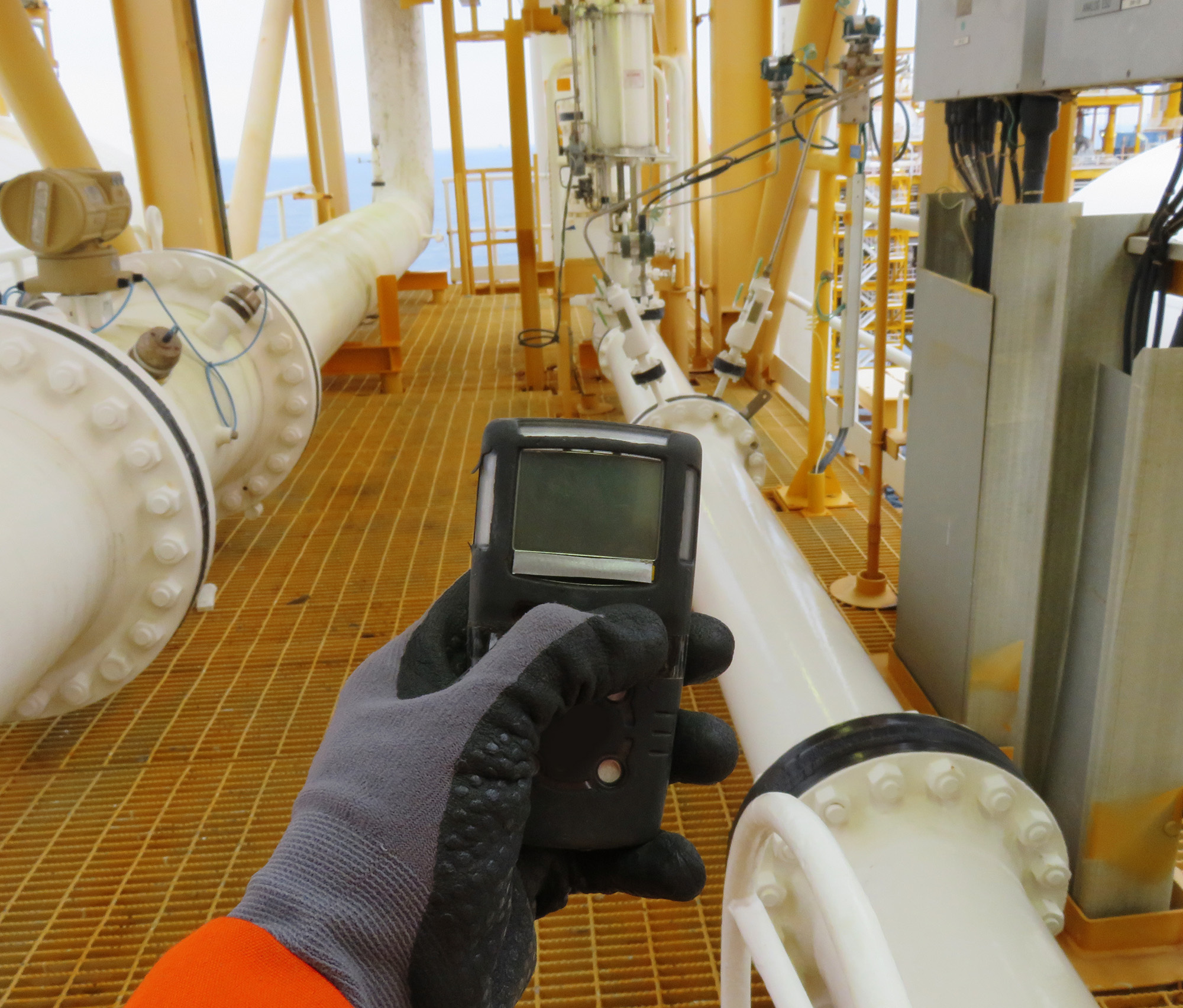
Hydrogen Safety Engineer
Keeping hydrogen systems safe for people and communities.
Environment, Health and Safety

Carbon Capture, Utilisation and Storage (CCUS) Monitoring and Verification Specialist
Tracking stored carbon dioxide to make sure it stays safely underground.
Science, Data and Analytics
Sustainability Data Analyst
Tracking environmental performance through accurate data.

Let’s shape the future together
Backed by industry, My Energy Future is brought to you by OPITO and partners to build a safe, skilled workforce.